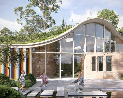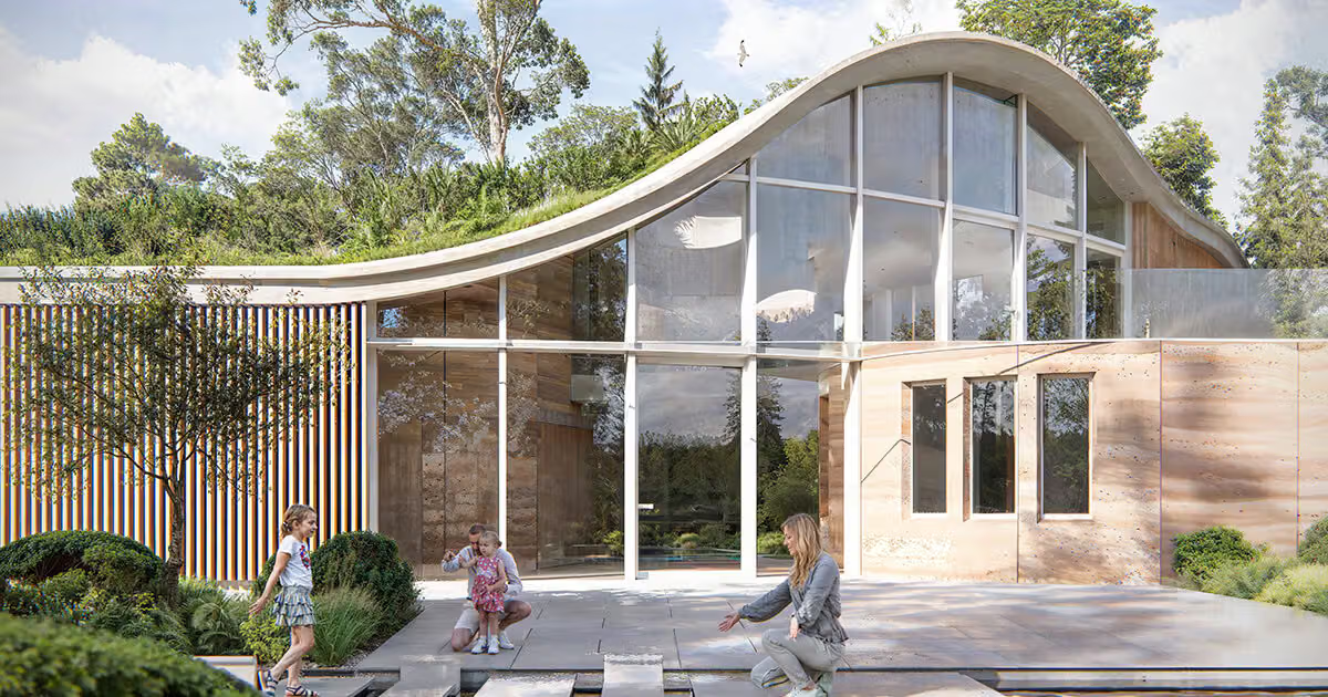
How do you convince a local council that a house buried almost entirely underground, with only a single façade visible, won't compromise a protected sightline? For UK-based Agora Architects, that question became a three-year standoff on their project The Wilderness.
At the heart of the dispute was visual impact. Traditional technical drawings simply couldn't answer whether a house hidden below grade would remain invisible across all four seasons. Instead of churning out more perspective renders to satisfy the council, Agora Architects founders Ashley Broughton and Oliver Serek built their entire workflow around Lumion Pro's real-time rendering engine—starting with a 3D site survey, integrating it into a SketchUp model, then importing it into Lumion Pro to apply materials, run orthographic views, and layer in terrain-aware context.
The move that actually shifted the council's stance was photo-matched terrain and seasonal simulation. The team used it to animate how winter leaf-drop and shifting topography would obscure the "invisible house" throughout the year, giving the council something far more persuasive than a single static rendering—a full seasonal curve of visual impact. That evidence later became one of the deciding factors in the project's final approval.